How does it work?
We send a seismic pulse below ground and read the differential signal. With this data we can interpret depth and estimate yield.
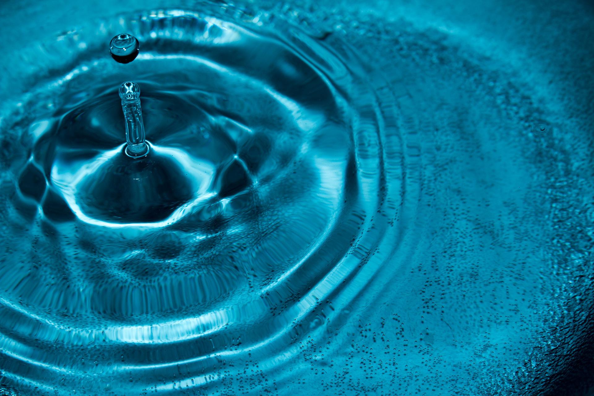
Do you guarantee water?
No, but we will find the best spot to drill, or confirm no available aquifer to drill into.
How do you decide where to perform the soundings?
We first ask where you want us to look. For example, near a building site or where the water will be used, (an irrigator etc.). Based on the geography and geology of your property, and data from known local wells, a plan is formed. That is a specific search. We can also do a general search to cover an entire piece of property.
Can we find the testing sites later?
Yes, we mark all sounding sites with GPS coordinates.
Can you find layered aquifers?
Yes, we can image multiple aquifer layers with each sounding.

How deep can you look?
The depth is dependent on the geology. Typically we can detect water down to 500 meters, (1640 feet). Most wells in this area are less than 200 feet.
Can you find oil?
While designed for oil exploration, our equipment is for water finding.
What do I get?
We provide a survey of the selected area and generate a report. In the report is a map of the area, the sites tested, the estimated depth and yield of each site, the local geology and samples of the soundings.
How far do you travel?
We can travel anywhere, but our primary range is roughly Minnesota and the Dakotas. If you are outside that area, call or email us, we still may be able to help.
Can you drill my well?
No, we are not Well Drillers. But, depending on where you are located, we may be able to recommend one nearby. Whoever you end up working with, we can help them find the best location to drill. We are constantly working with new Well Drillers.

For more information, see our How it works section, or contact Russ, Mike or Les today.