How does the groundwater finding process work?
We start by researching local wells in the area. Next, based on the geology and geography of your property, a plan is formed as to the best place to survey.
The intended usage of the well will many times dictate where a convenient well location would ideally be. (For example, a building site or an irrigation system etc.) If you let us know your plans we can prioritize our search.

Equipment is set up to generate and collect a seismoelectric signal.
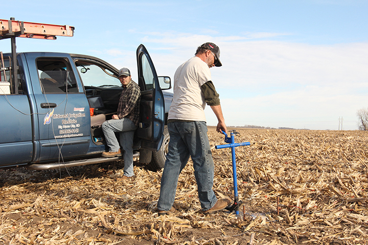
A signal wave penetrates and the electrical disturbance created is detected.
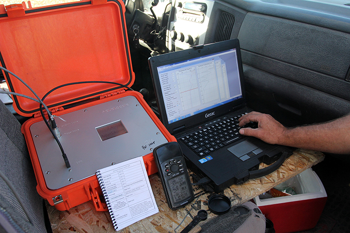
Data is collected. The form of each signal gives information about the depth, thickness and quality of the aquifer.
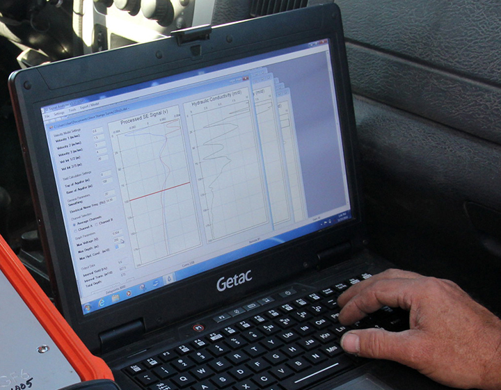
Each sounding is compiled and GPS coordinates are automatically attached and logged in.


(Partial results from a recent survey.)
What do I get?
Once we have finished the soundings, we meticulously process the data to give you a detailed report. In this report is:
- A map of the area surveyed.
- The sites (with GPS coordinates).
- The estimated depth and yield of each site and samples of the soundings.
With this information you can have a clear picture of your underground water resources, and make an intelligent decision on where the most efficient location for your well should be.
Contact us today and we can save you time, money and frustration!
Don’t just take our word for it, read some of our Success Stories.